
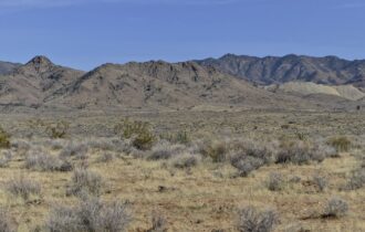
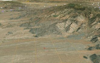

1 Acre Tucked Away in the Beauty of Yucca, AZ!
Perfect piece of land to live and play!
Payment Options
Payment Note(s)
If you are interested in reserving this parcel, click the “Reserve Now” button for any of the payment options. You will be redirected to our payment page to make the initial reservation payment. There is a $10/mo loan servicing fee along with prorated taxes. Ask about our 6mo same as cash option as well!
Description
Title is Clear. No Open Liens/Encumbrances found.
***Owner financing available with no credit checks!***
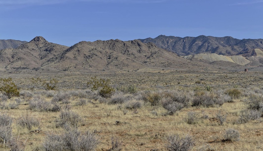
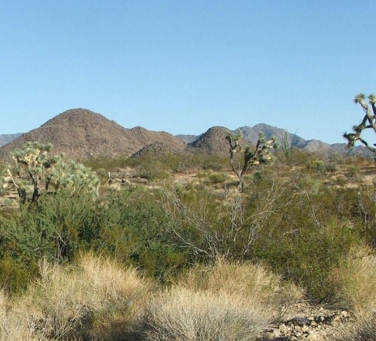
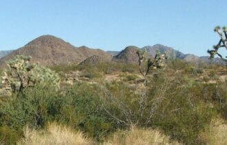
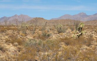
Hike the Mesa for your morning routine, go rock, hunting, and enjoy views for hours!
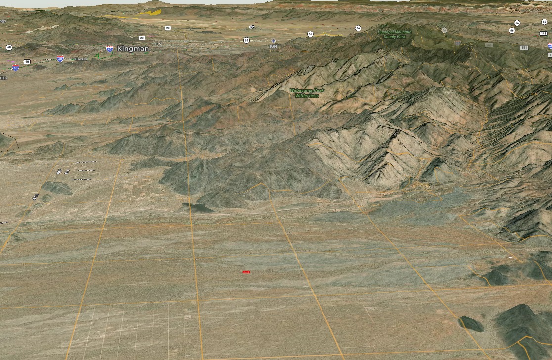
Mohave County is one of the four original counties created in AZ! This area has a population of over 200,000 people spread out over an area as large as New Jersey. The Kaibab, Fort Mojave and Hualapai Indian reservations all lie within the county lines. There are 18 official wilderness areas, endless trails, and a unique way to reach the Grand Canyon without going through Flagstaff.
Search no more for the perfect little spot to call yours!
Taxes are only $39/year so it doesn’t hurt to grab some land now before Bill Gates buys it all.
You can camp, RV, and create here as you please- just kindly get a permitted septic when you plan on building.
Important: You cannot build or permanently live on the land until its paid off.
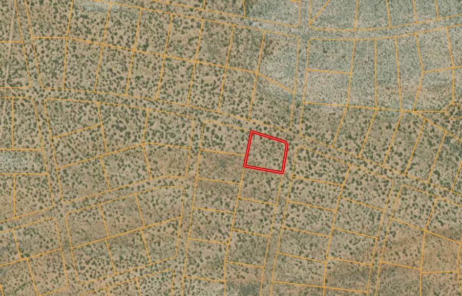
Property Information
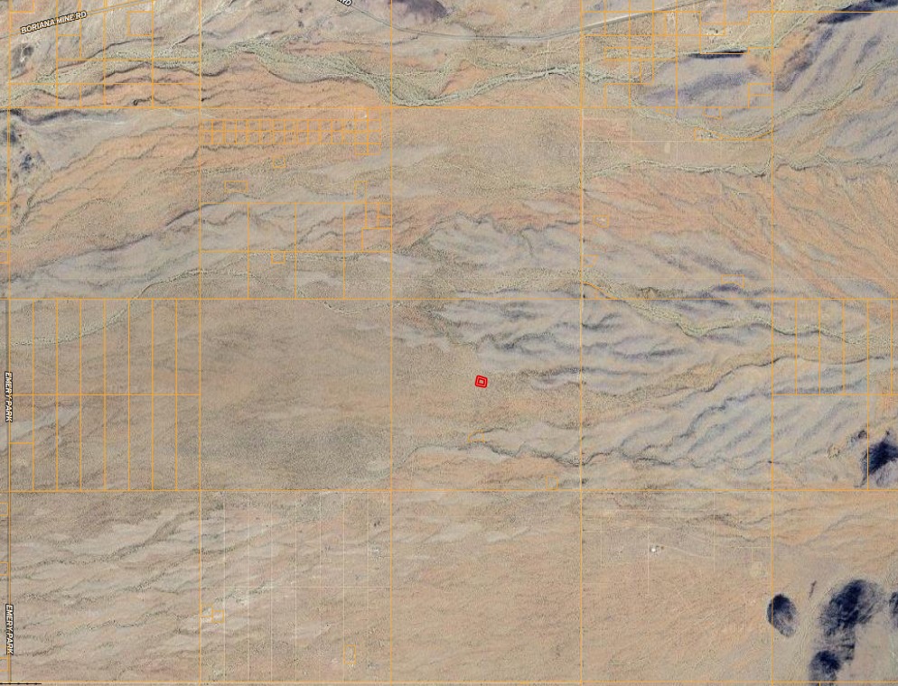
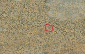
Parcel Size
1.06 Acres
State
Arizona
County
Mohave
Nearest Cities
Kingman, Las Vegas, Lake Havasu, Phoenix
Parcel Number
244-07-256
Address
Yucca, AZ
Legal Description
Tract: 1124 Lake Havasu Estates Unit 12 Bl
Features
Acres
1.06
Dimension
Corner lot
County
Mohave
Access
Dirt Road
Power
Pole or Solar
Water
Well, Haul, Rain, or Delivery
Coordinates
34.84209, -114.01261
Zoning
AR
Elevation
2,760 feet
Notes:
Copy and Paste this into a map of your choice:
34.84209, -114.01261
Youtube video: