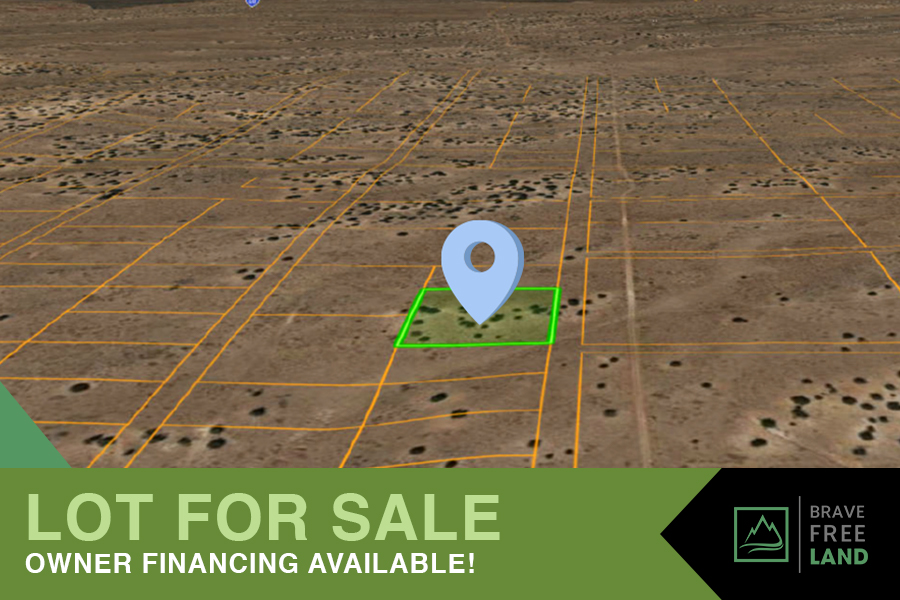


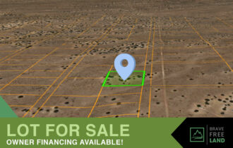


2 Acre Getaway with Trees in Northern, AZ!
Perfect piece of land to start your own farm or agricultural operations.
Payment Options
Payment Note(s)
If you are interested in reserving this parcel, click the “Reserve Now” button for any of the payment options. You will be redirected to our payment page to make the initial reservation. We also offer 6mo same as cash to all our buyers if you need extra time to pay in full. Do not reserve here if you want to purchase through a title company.
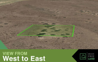
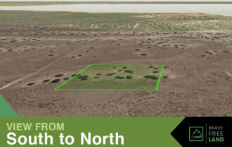
Description
Cash: $500 down and a one-time $200 doc prep fee reserves this property and gets the paperwork started! The remaining payment is made after the paperwork is completed.
Owner Finance Terms: To reserve and get the process started, it is $500 down and a one-time $200 doc prep fee. Then pay $160mo. In addition to your loan payment, there’s a $10 monthly note fee and property taxes due.
Deed and title are clear and clean.
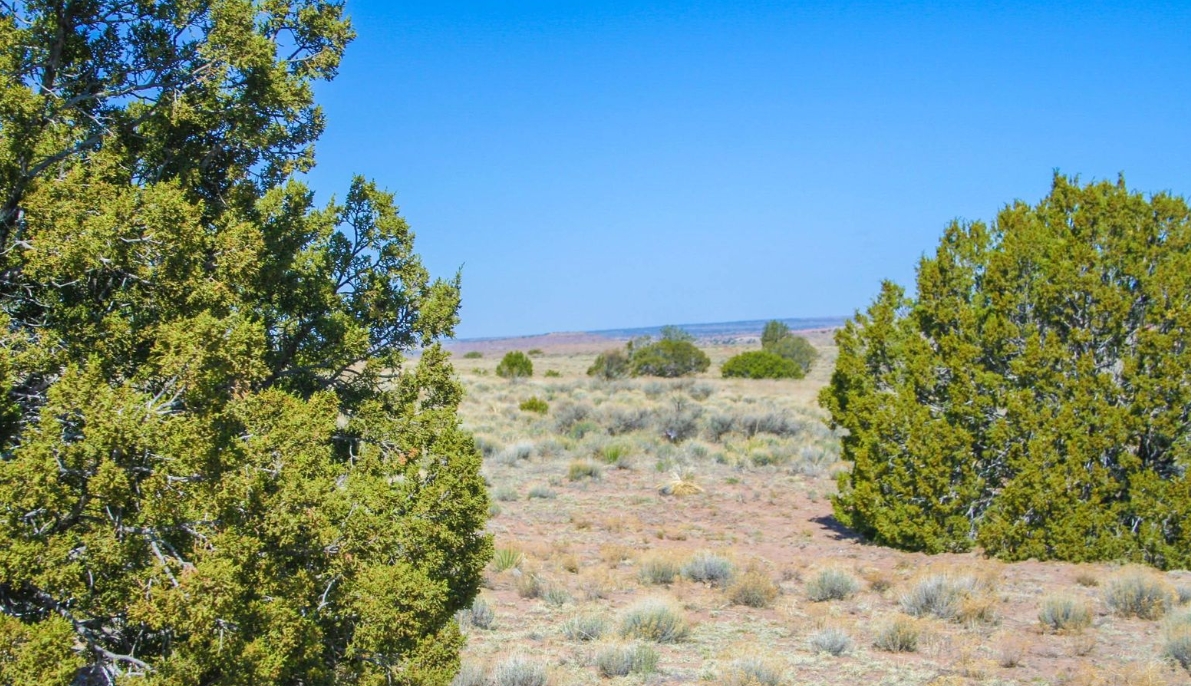
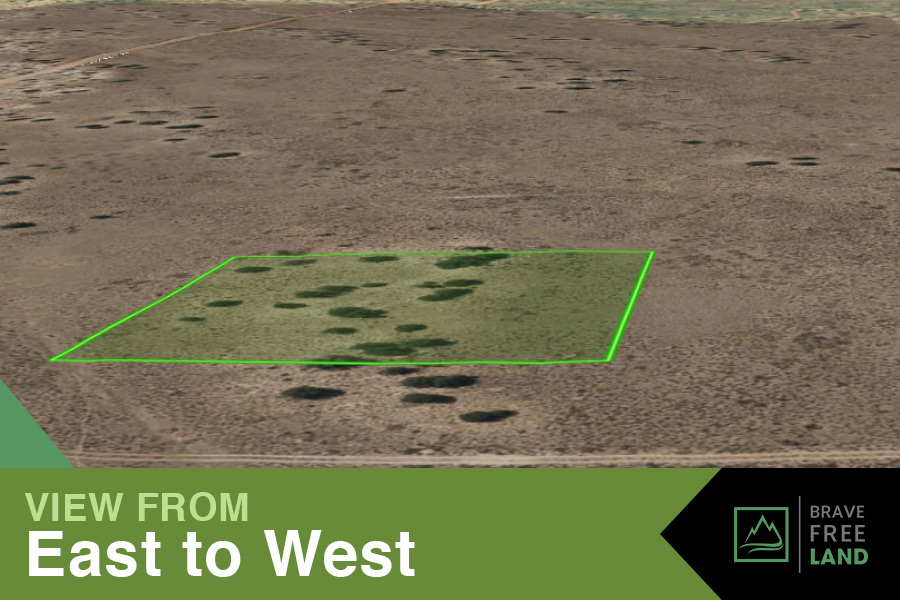
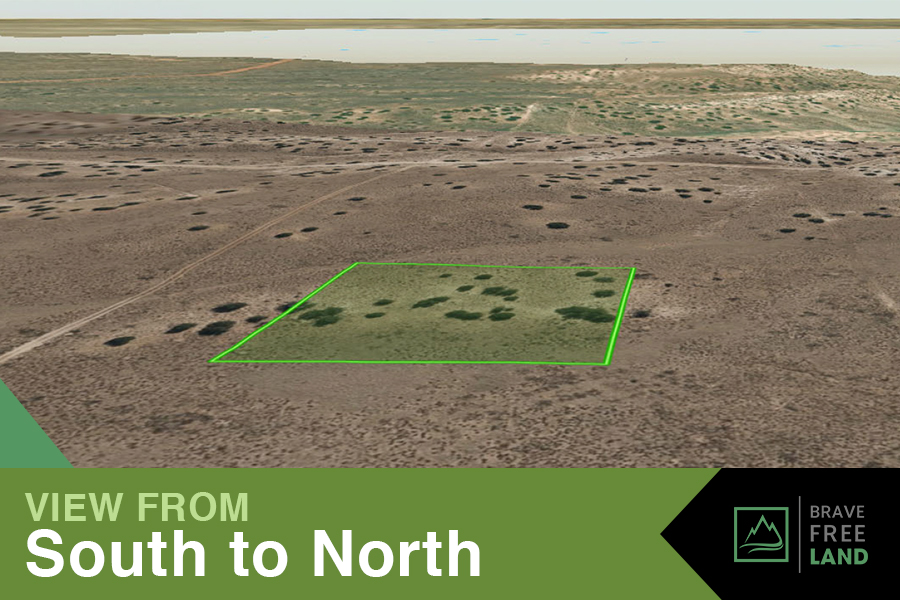
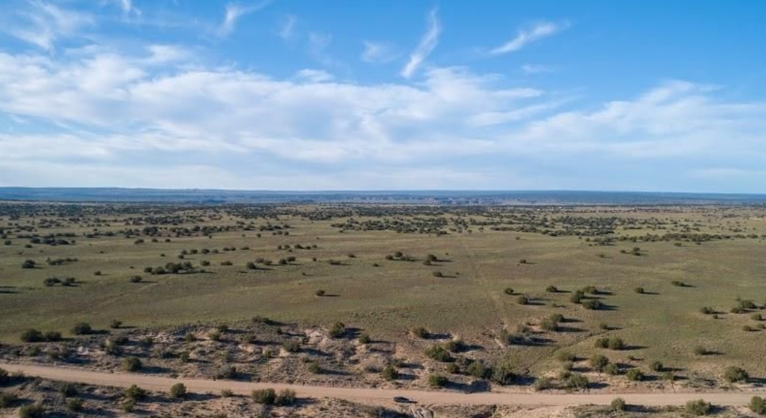
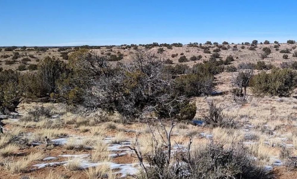
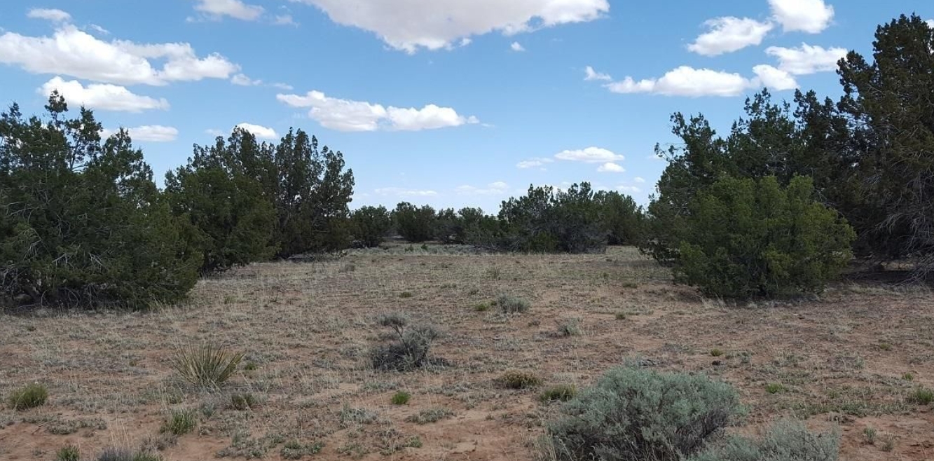
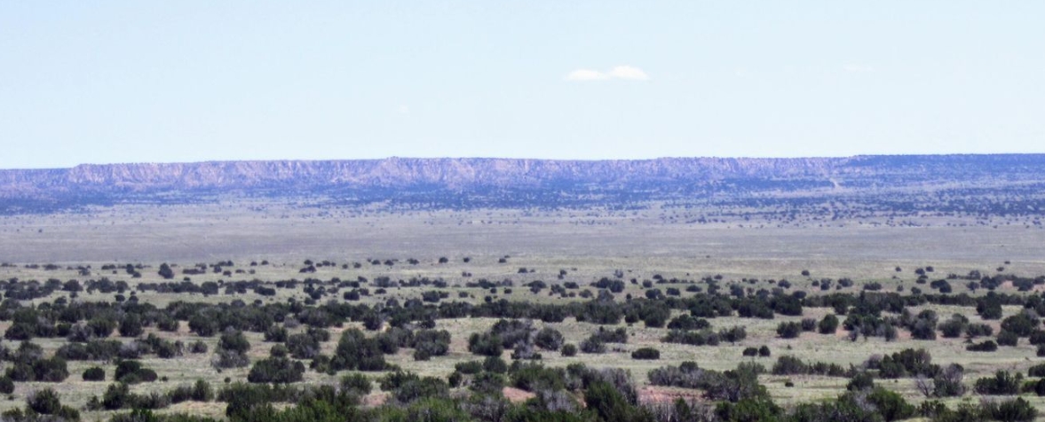
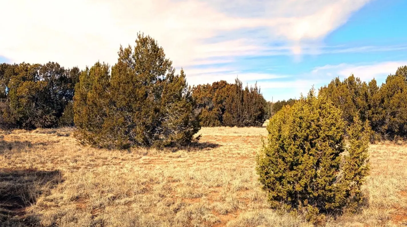
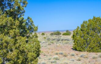
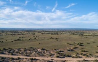
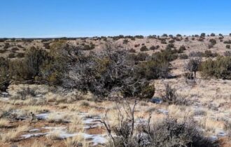
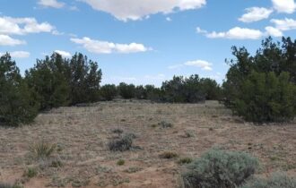
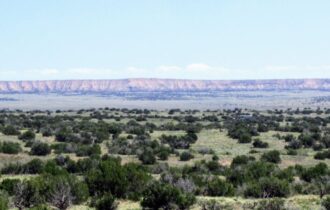
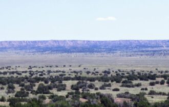
Hello to higher elevation! Perfect spot for some camping or planning of your homestead!
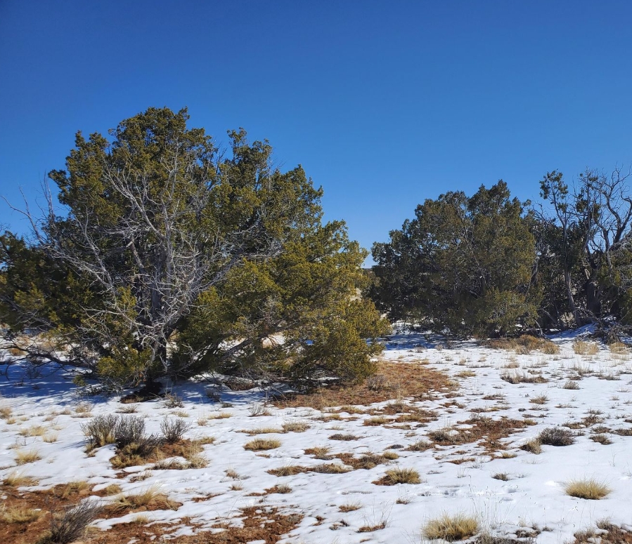
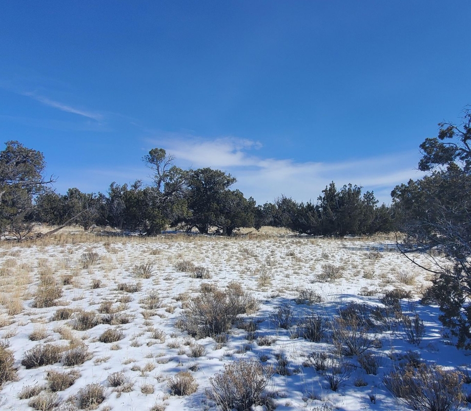
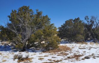
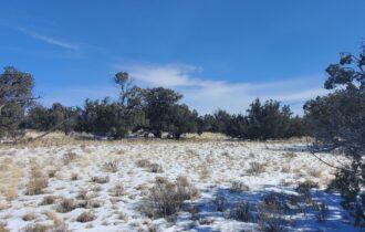
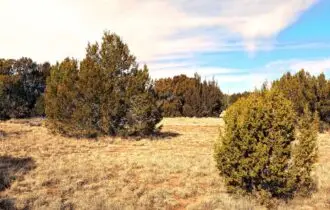
Bonus!: Direct road access that is county maintained, power poles close by, and lots of Cedar, Juniper, Evergreen, and Pinion Pine trees!
Cabins, Mobile/Modular Homes, RVs, farming, a small ranch with livestock is all allowed. No time limit to build. No HOA.
Summer high temps? 90. Winter low temps? 15.
Septic will be required once you decide to live permanently on the land. Water can be a cistern, holding tank, or a well. Contact the Health Department at (928)337-7607 for water and septic questions.
Electric Solar or contact Navopache Electric at 928-337-4414.
Gas-Propane tanks.
Waste- Contact Waste Management at (800) 796-9696.
This lot is not on or in a flood zone or flood plain.
See our blog page for more information on buying land. Please contact us for questions! We love to help! But we are not your personal land assistant here to find out all your answers, you get to have fun and get some land!
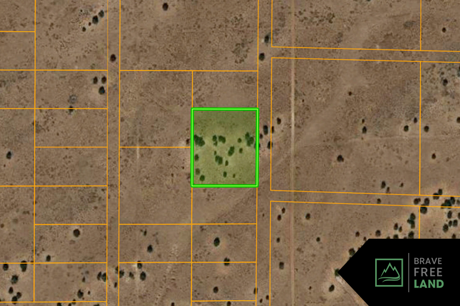
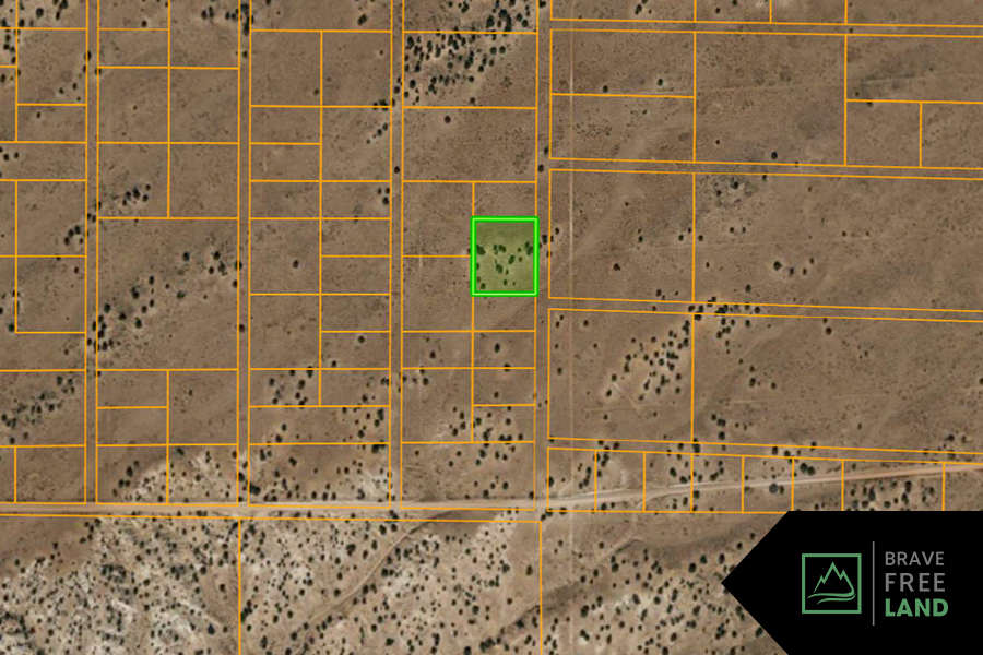
Property Information
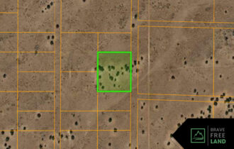
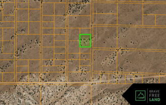
Parcel Size
2 Acres
State
Arizona
County
Apache
Nearest Cities
Holbrook, Saint Johns, Show Low
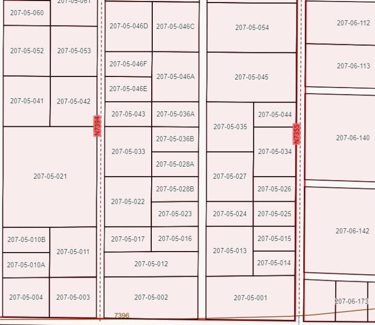
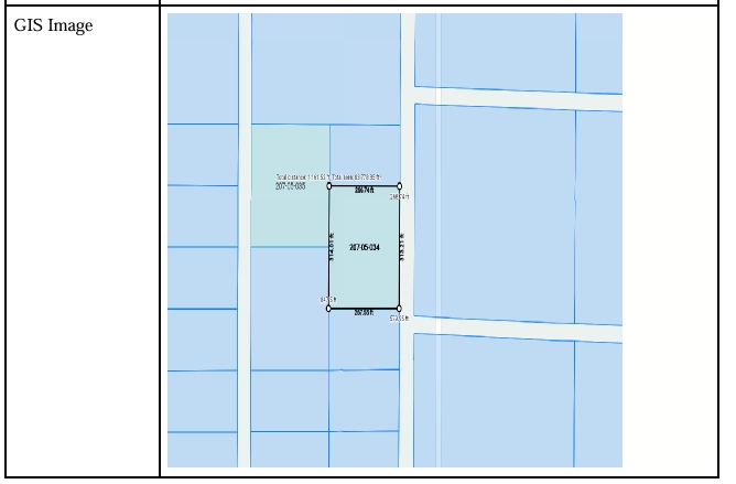
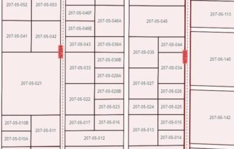
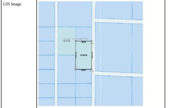
Parcel Number
207-05-034
Address
N 7355
Legal Description
WHITE MOUNTAIN SHADOWS
Features
Acres
2
County
Apache
Access
Dirt Road
Power
Solar or pole
Water
Well or Haul
Coordinates
35.14316, -109.38372
Zoning
AG
Elevation
6,068 FT
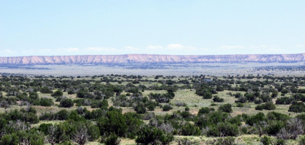
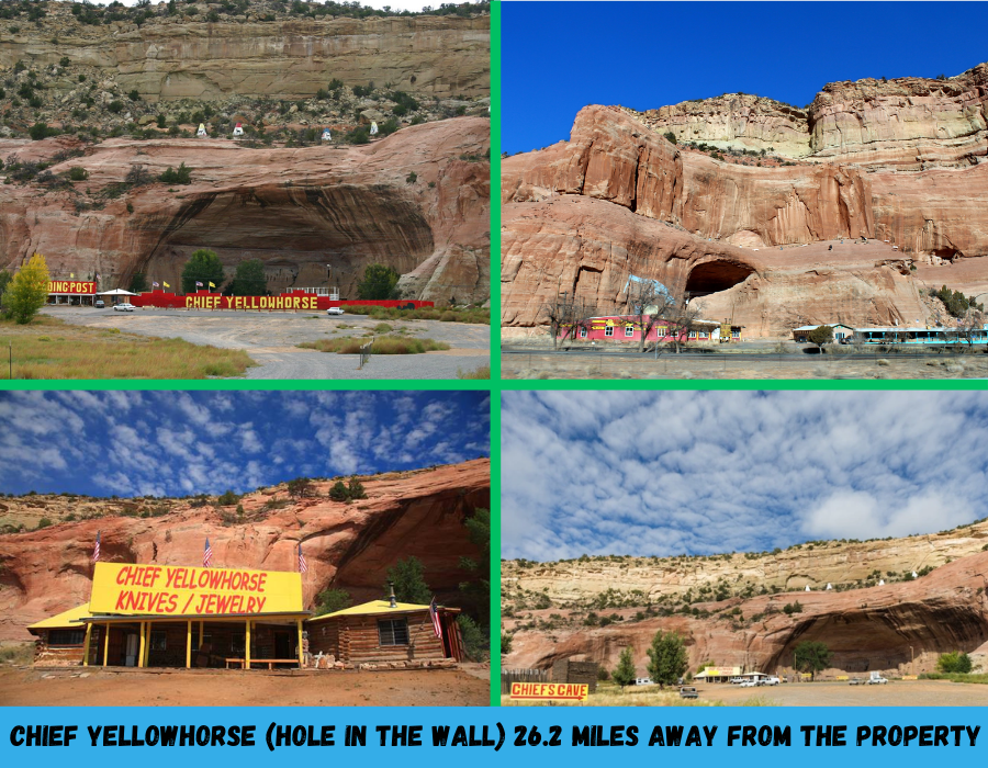
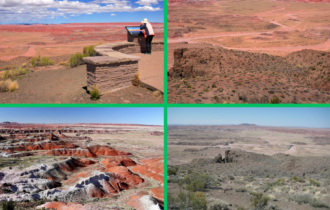
Nearby Attractions/City:
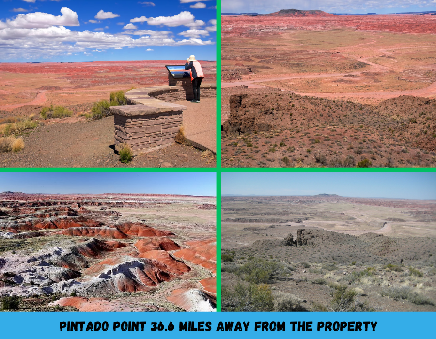
Painted Desert Inn, Tiponi Point, Pintado Point, Whipple Point,
Murals of Indians Village, and Fort Courage Ruins.
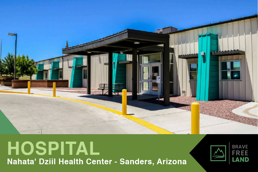
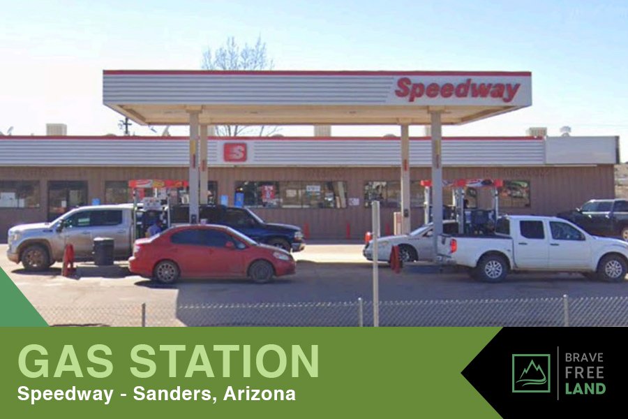
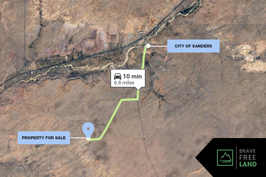
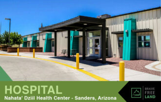
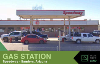
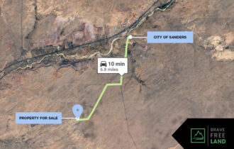
You can reach the unincorporated community of Sanders, AZ within 10 minutes. Sanders has a fire Department, Post office, High School, Middle School, Rodeo Arena, and select restaurants.
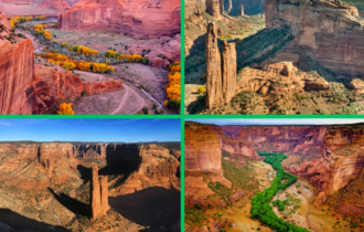
Petrified Forest National Park about 30 minutes
Pueblo of Zuni about 45 minutes
Window Rock Tribal Park & Veterans Memorial about an hour
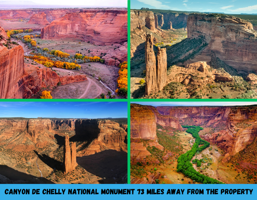
Painted Desert less than 1.5 hours
El Morro National Monument less than 1.5 hours
Apache National Forest about 2.5 hours
Google map and information:
Please go prepared if you are looking at properties. Print a map and know a few different ways to get there. Google is not always accurate in rural areas. Kindly give us notice when you going to view a property. We do not meet people on the land. Also, we can offer you what we have listed here on our website as well as anything we have not listed yet- so ask us if you see something is sold if we have anything in the area.
GPS Coordinates:
Center
35°8’35.41″N,109°23’1.45″W Elevation 6075 FT
NE:
35°8’36.91″N,109°22’59.75″W Elevation 6076 FT
SE:
35°8’33.82″N,109°22’59.78″W Elevation 6071 FT
SW:
35°8’33.82″N,109°23’2.99″W Elevation 6068 FT
NW:
35°8’36.92″N,109°23’2.97″W Elevation 6075 FT
Directions from Sanders:
Head west on E Sun Ln toward US-191 S
0.1 mi
Turn left onto US-191 S
2.8 mi
Turn right
0.8 mi
Turn left onto Apache County Rd 7395
2.2 mi
Turn right onto Apache County Rd 7396
Google directions: https://maps.app.goo.gl/srVWR9NLMDqTJD3v8