10 Acres in Topock, AZ- with Power! Residential and Agriculture allowed.
Land legacy awaits!
Payment Options
Payment Note(s)
If you are interested in reserving this parcel, click the “Reserve Now” button. You will be redirected to our payment page to make the initial reservation payment. If you are purchasing multiple parcels, this will count as the reservation on all of them. The final payment is due after you sign the purchase agreement. If you want to purchase through a title company, do not reserve online.
Description
This property is coming soon- you can hold and or reserve it in advance.
*Owner financing available! No credit checks and low monthly payments! *
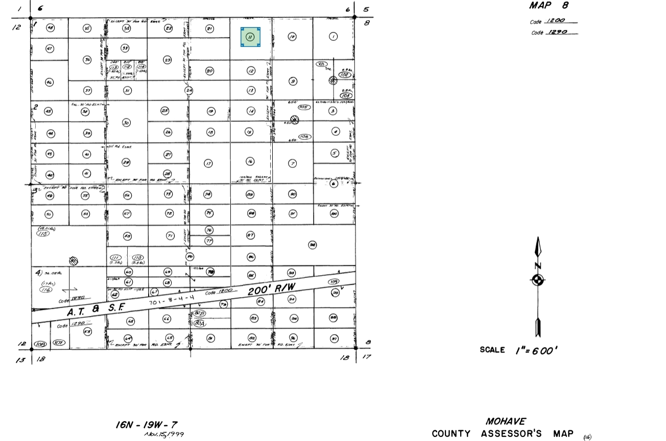
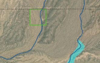
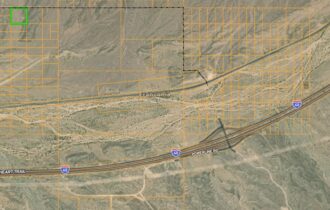
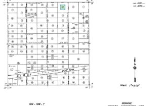
*Land information, parcel number, GPS, map, and info is all listed below.*
Cash: $1250 down and a one-time $250 doc prep fee reserves this property and gets the paperwork started! The remaining payment is made after the paperwork is completed.
Or finance for $1250 down and $350/mo for 80 months. The one-time doc fee is $250 and you’ll have a $10mo loan servicing fee as well as county taxes added to your monthly payment.
Leave a legacy and pass this asset onto your heirs! Start your dream homestead, farm, or non-profit!
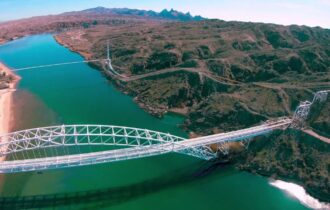
Feel like you’re in the middle of nowhere, yet close to lakes, monuments, caves, BLM, and major cities!
Camp and hangout here on the weekends.
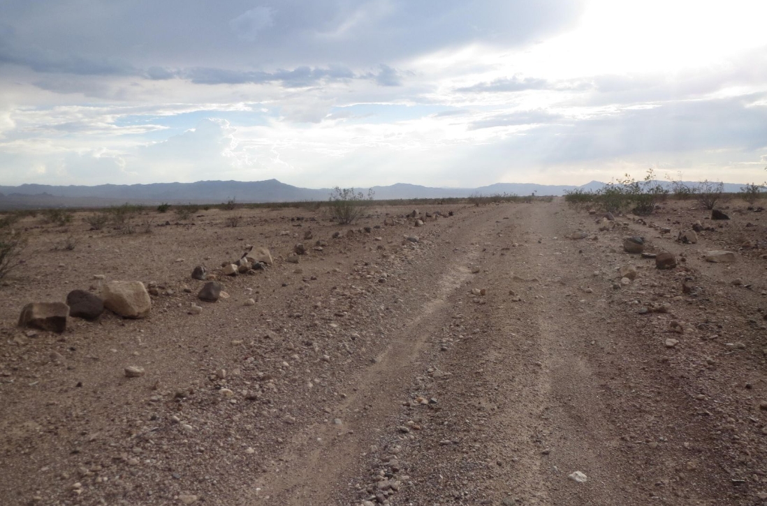
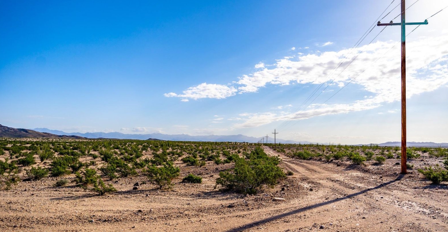
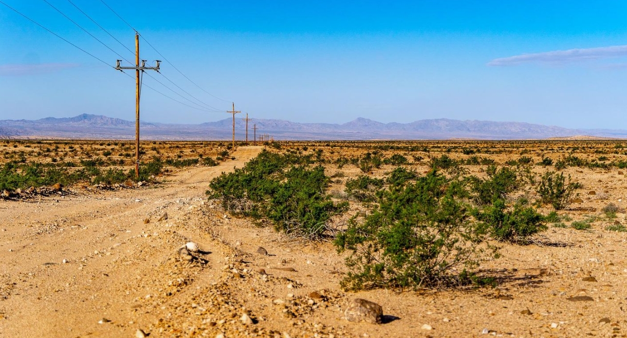
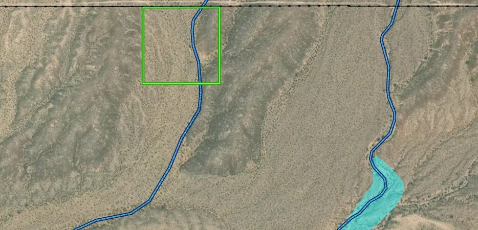
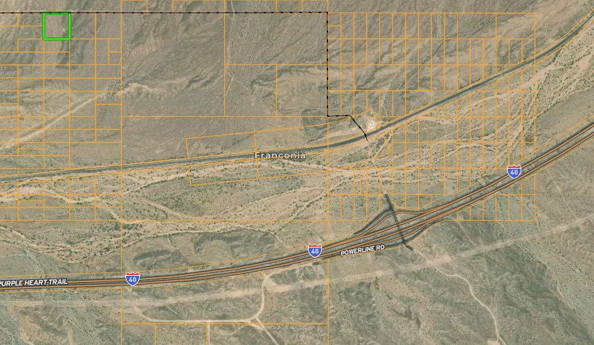
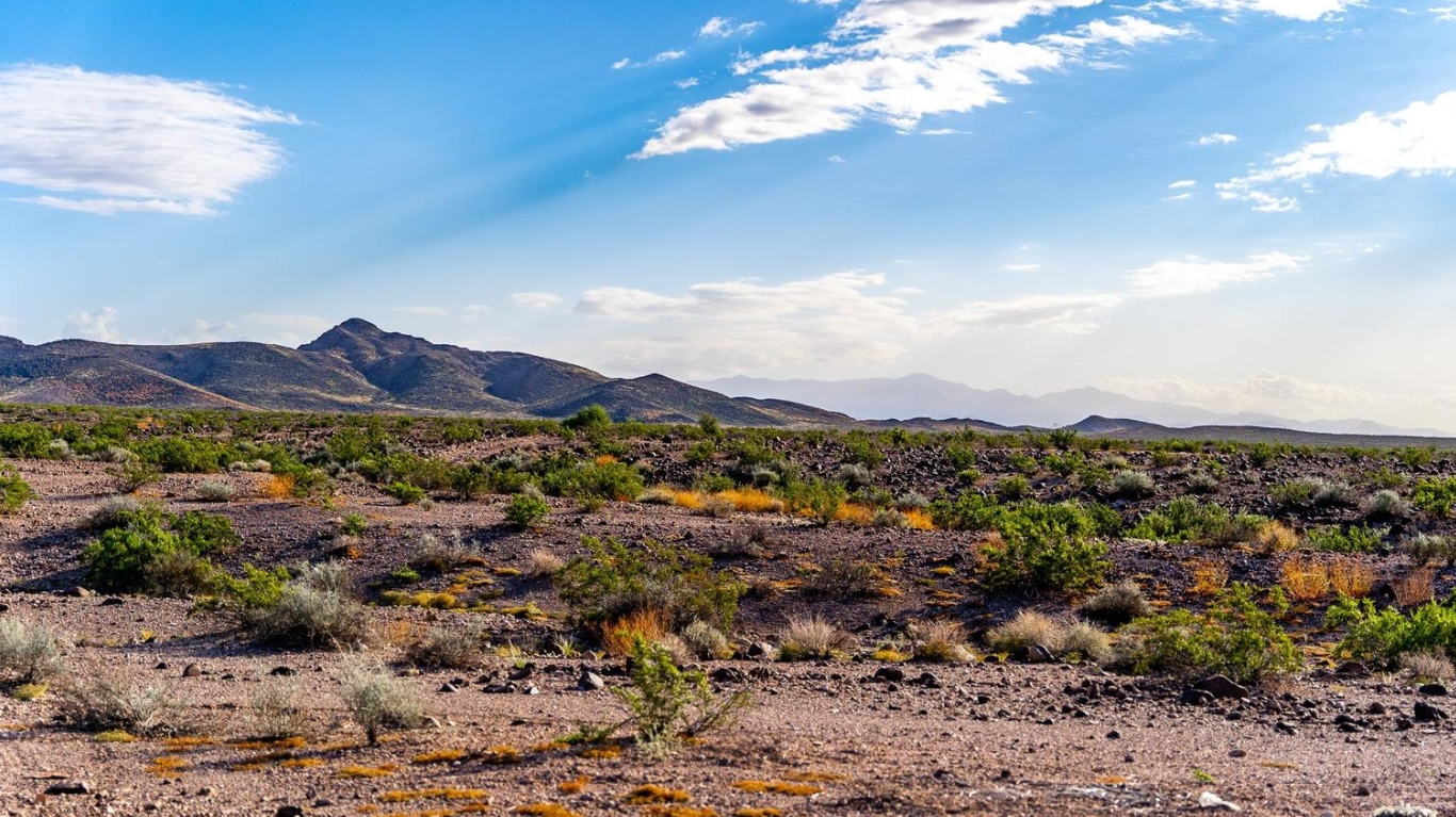
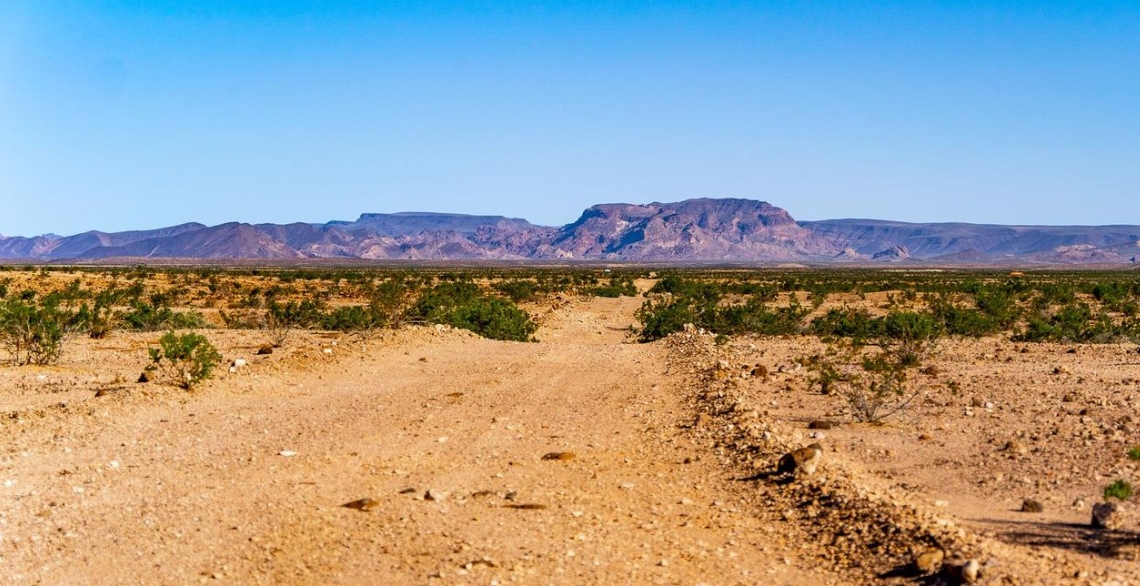
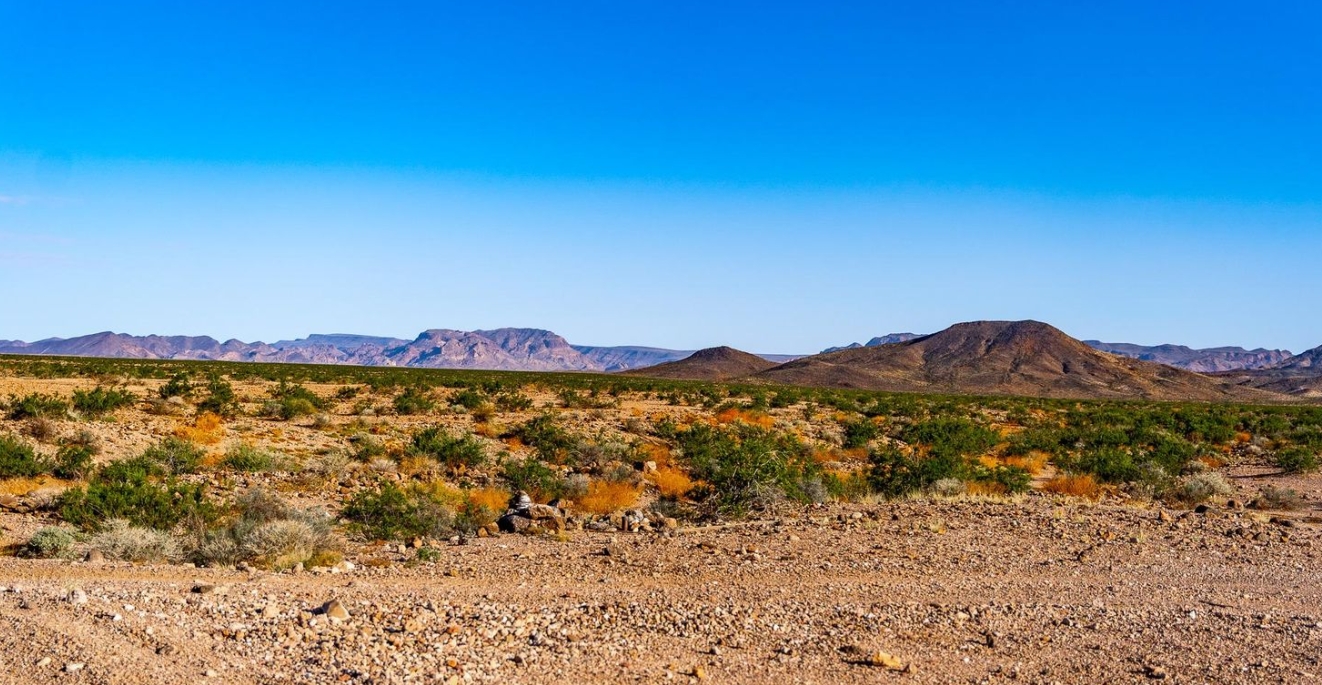
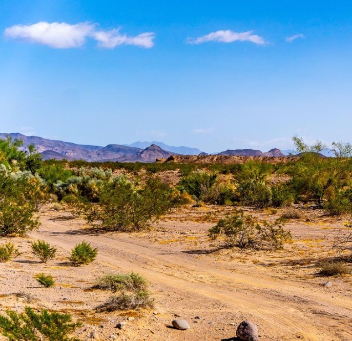
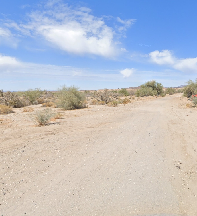
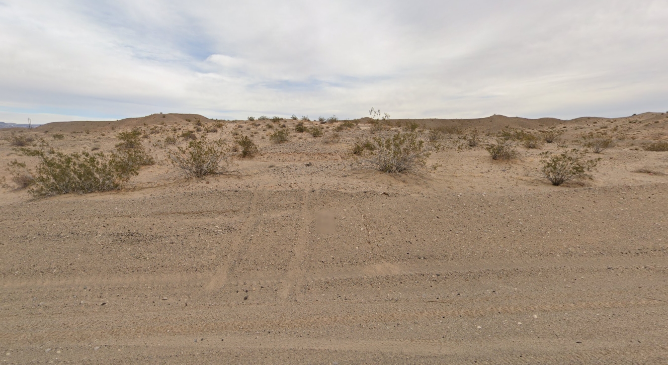
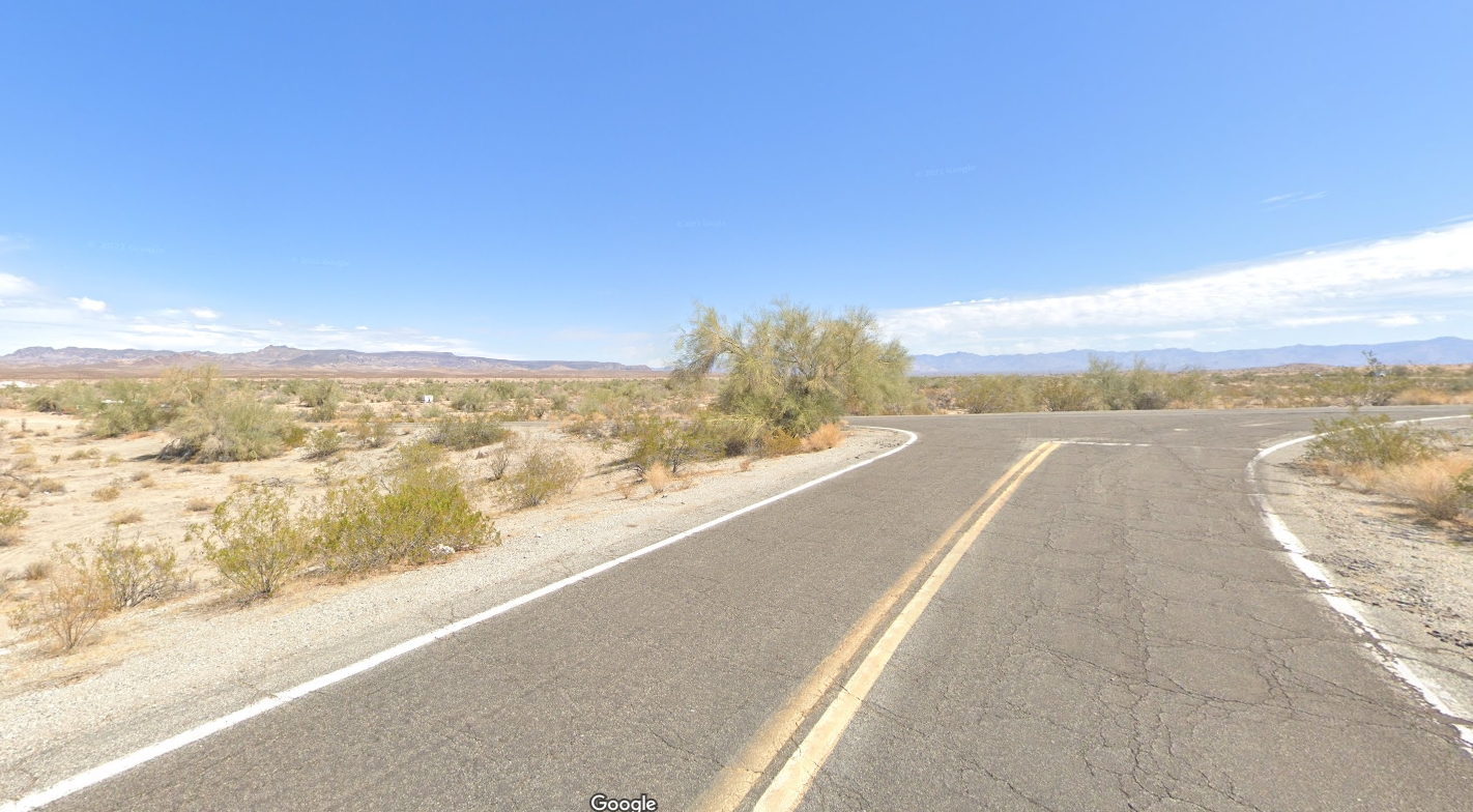
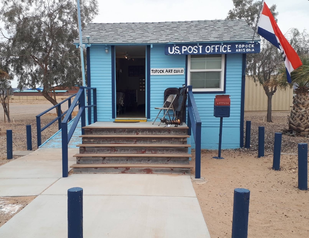
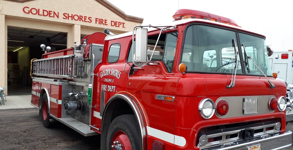
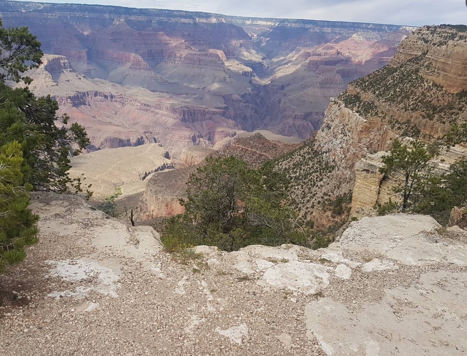
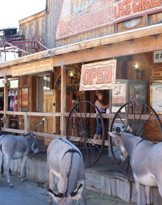
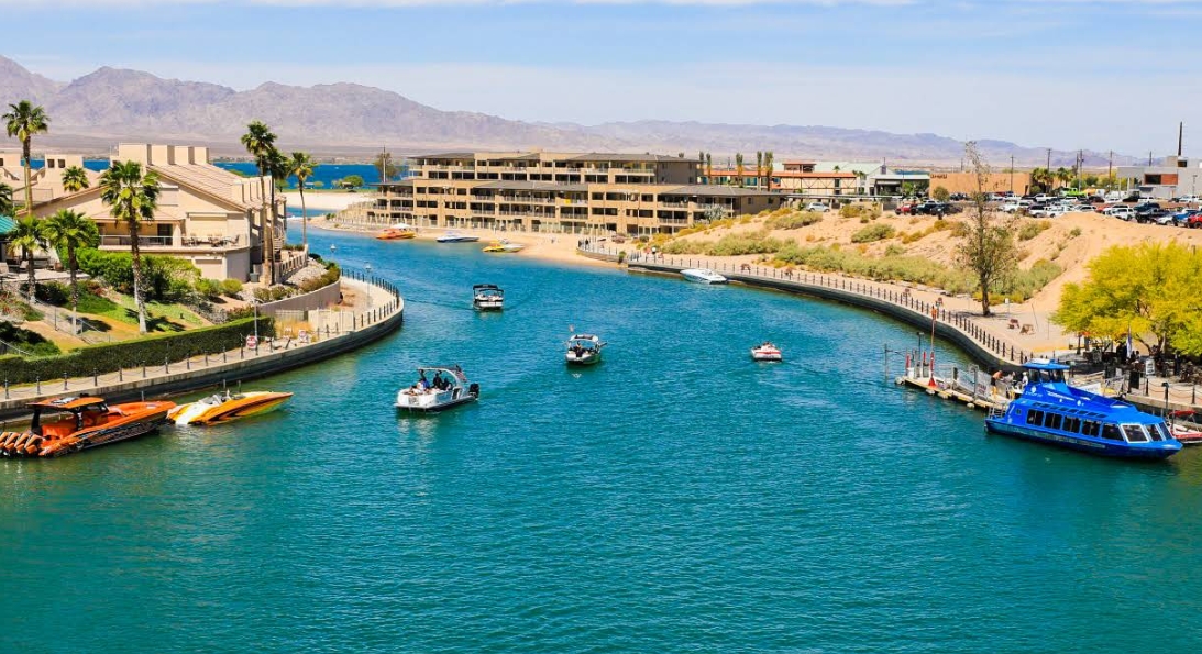
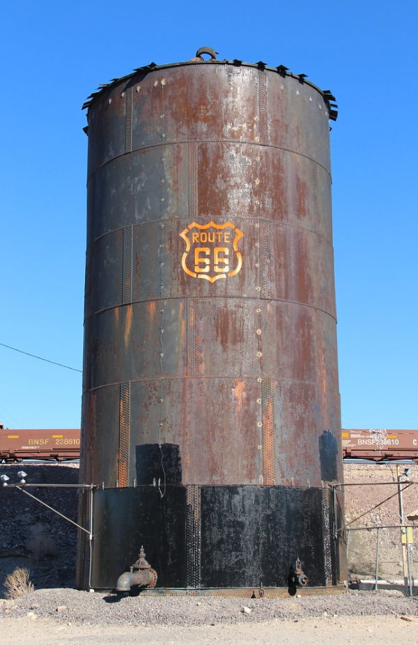
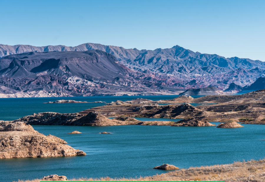
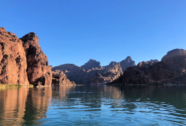
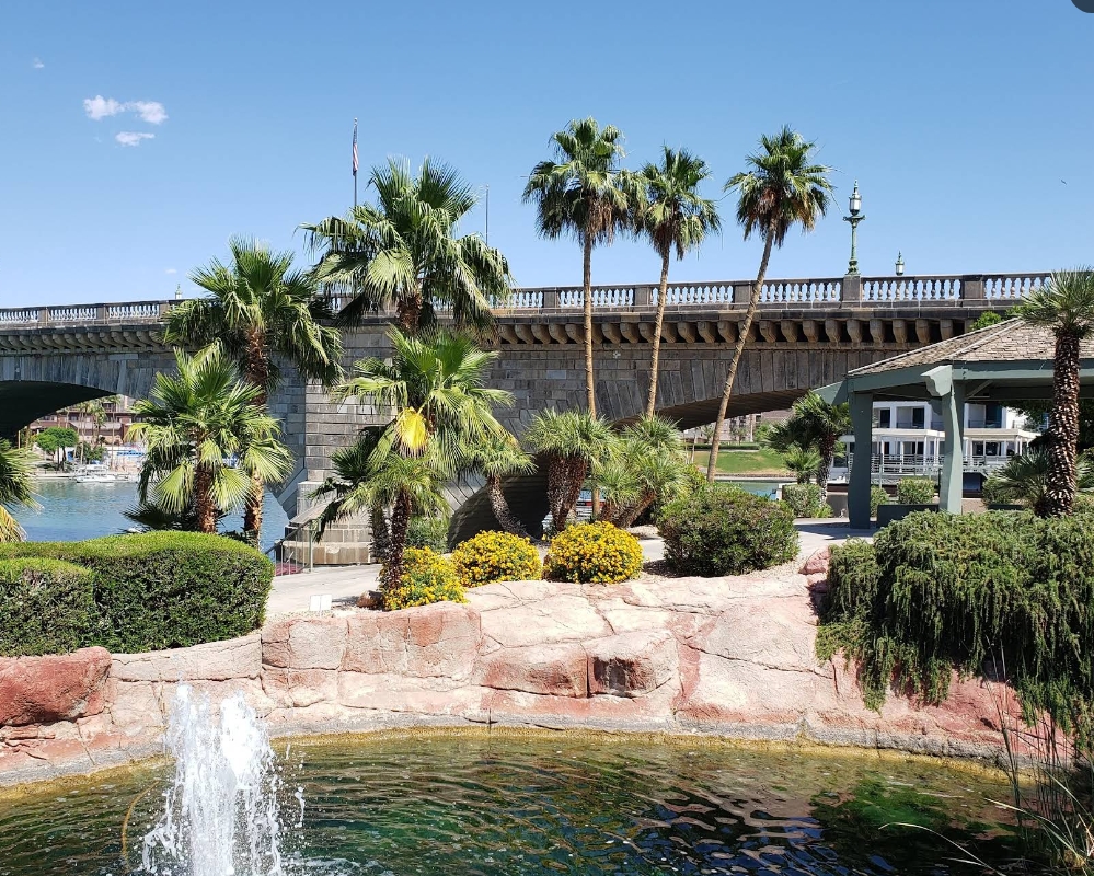
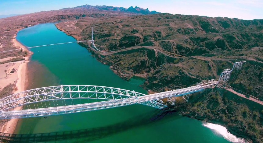
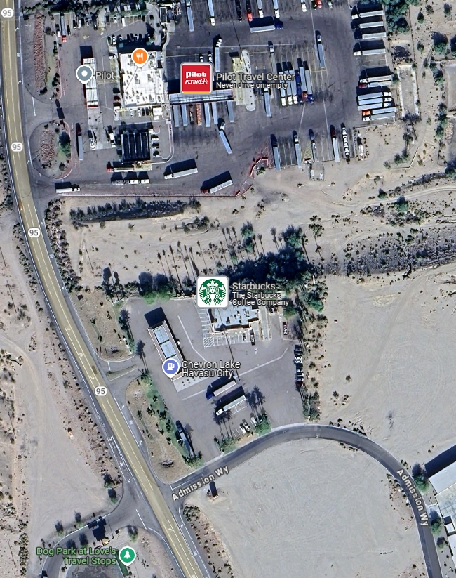
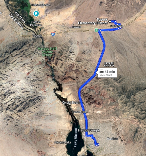
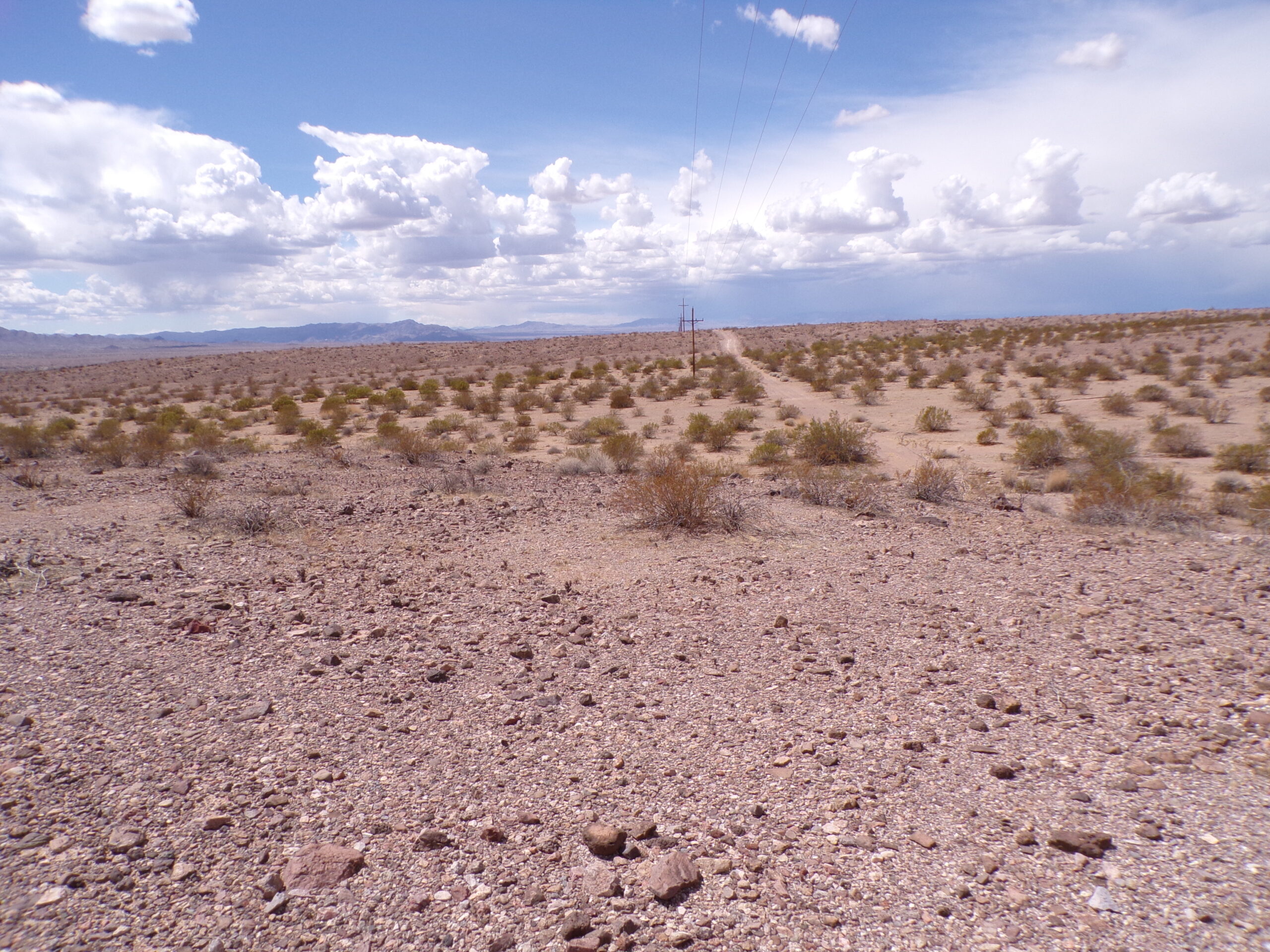
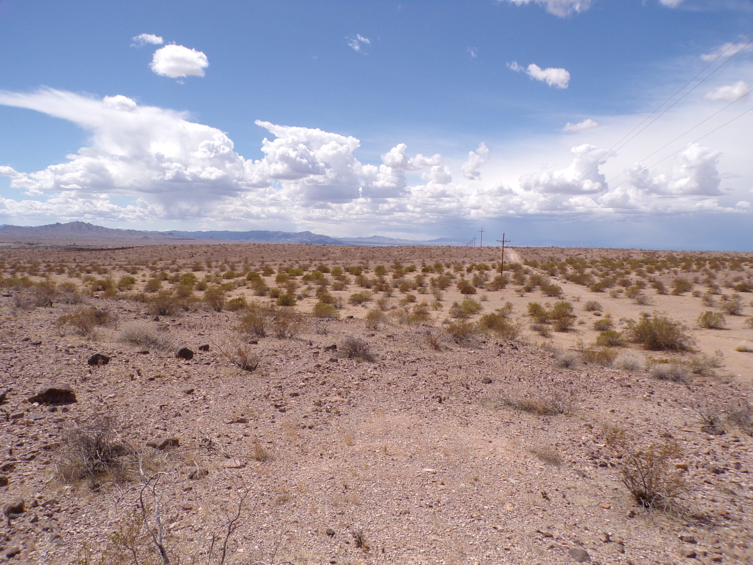
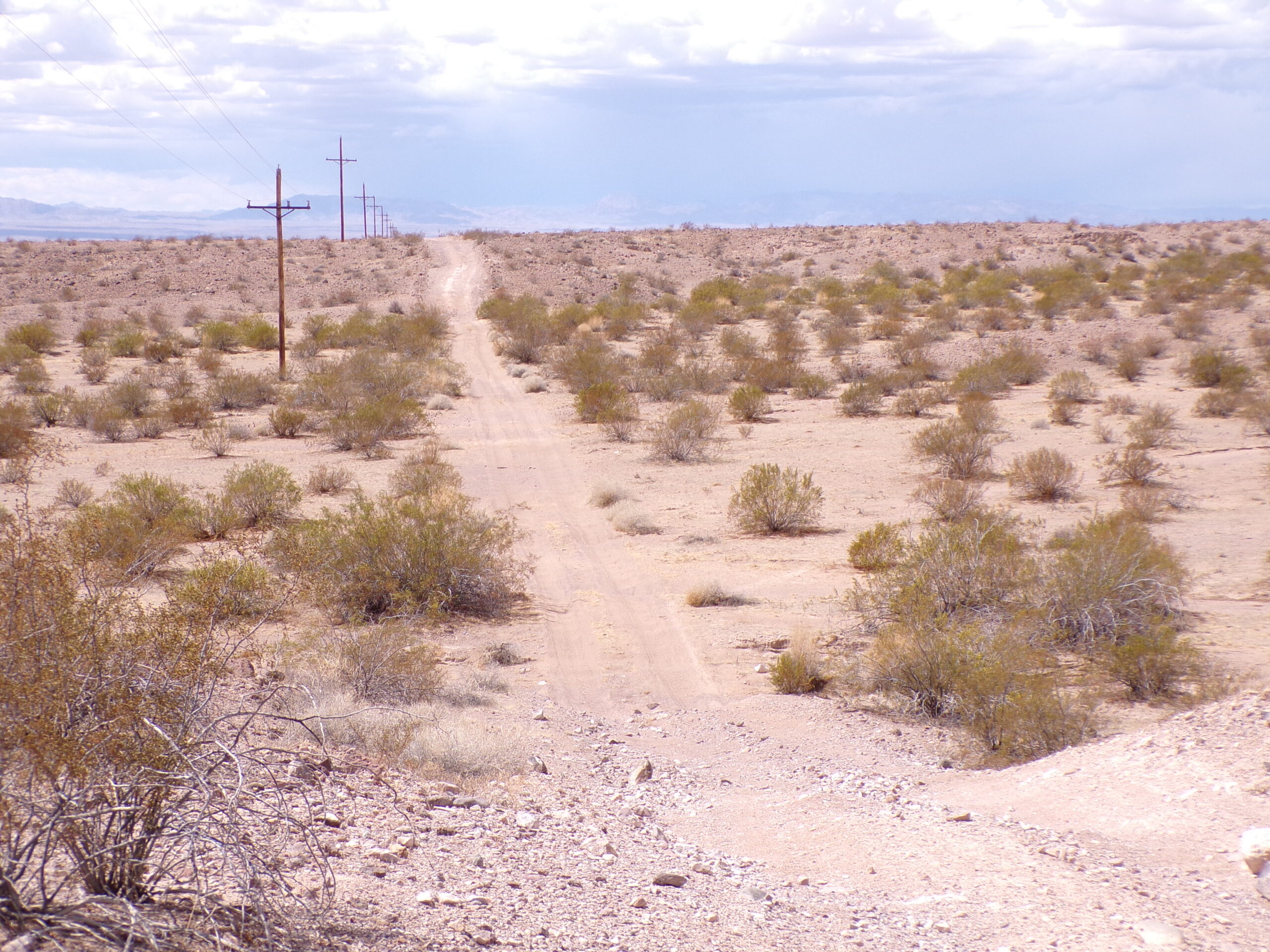
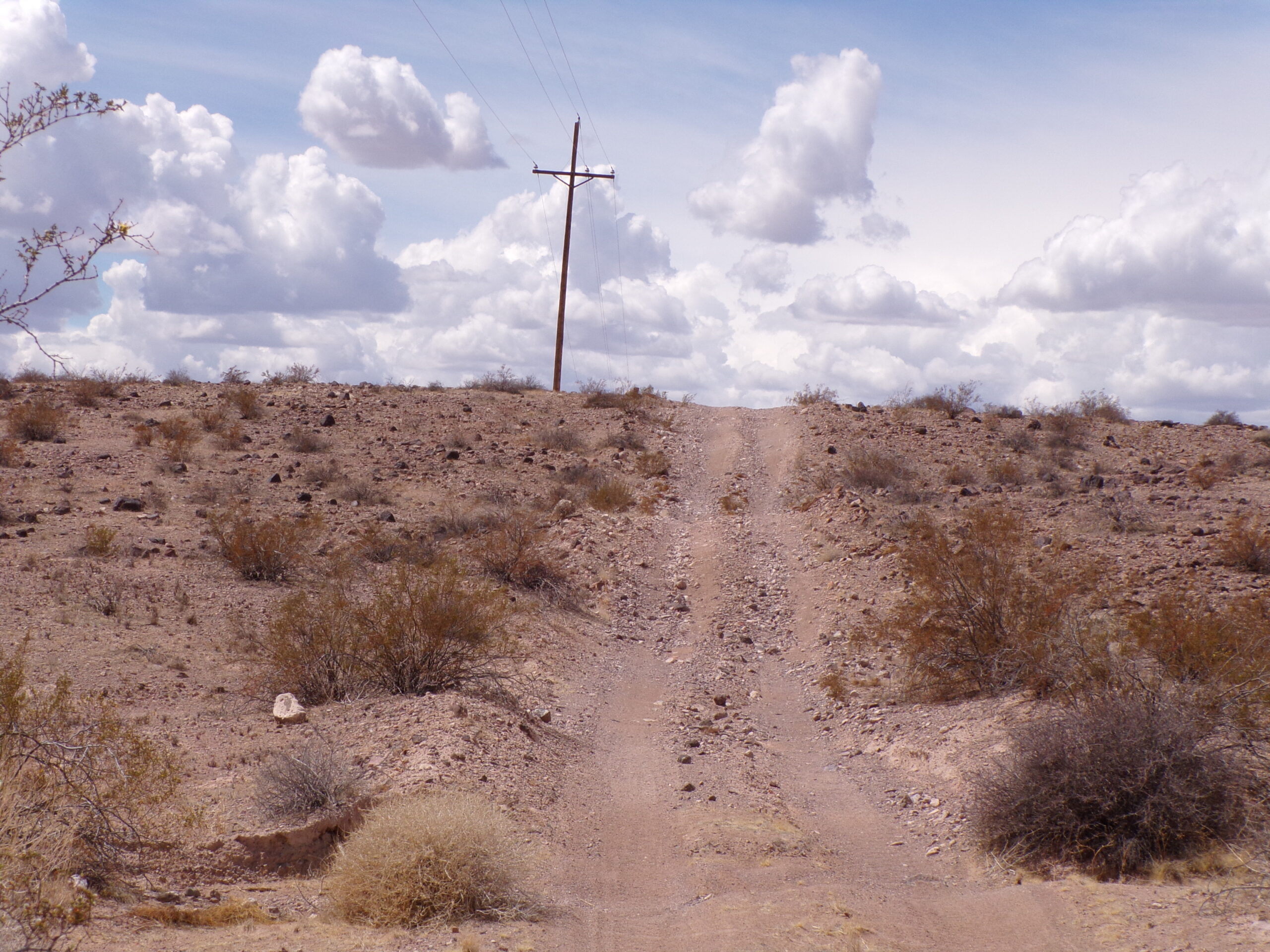
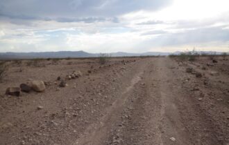
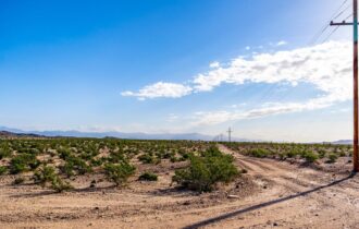
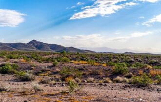
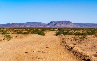
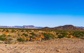
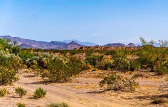
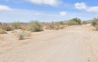
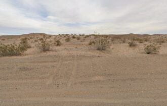
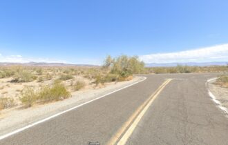
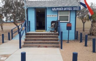
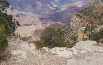
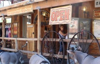
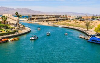
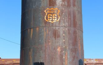
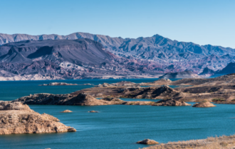
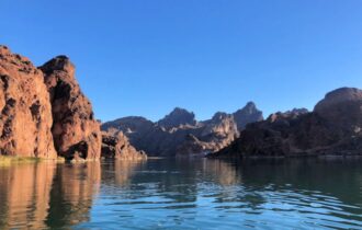
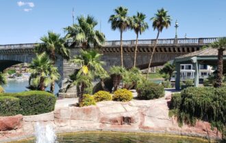
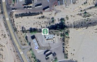
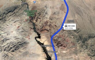
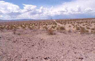
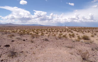
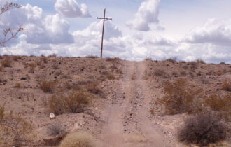
Power poles on the road! This is a corner lot. You have legal access on the north side and there’s a road on the east side as well. See photos for description. Please note the photos we post are the land and the local area, so you can see what’s nearby.
Local wells average 300 feet. There’s no flood plain or flood zone on this land. There is a dry stream/small wash and an interesting history about how this area was formed for you to discover if you choose! If you like sleuthing land, this is a fun area!
See our blog page for more information on buying land.
Title is Clear. No Open Liens/Encumbrances found.
This land is in Mohave County. Camping, tiny homes, mud homes, RV’s, and most all builds are allowed. Buyer must do their own due diligence on finding out about permits. We will send you a list of contacts for Mohave County upon request. Buyers are encouraged to do their own due diligence.
Property Information
Parcel Size
10 Acres
State
Arizona
County
Mohave County
Nearest Cities
Kingman, Las Vegas, Lake Havasu, Phoenix
Parcel Number
207-08-011
Address
Topock, AZ, 86436
Legal Description
207-08-011
Features
Acres
10
Dimension
665×655 feet
County
Mohave
Access
Dirt Road
Power
Solar or Pole
Water
Rain/Well/Haul
Coordinates
34.74898, -114.28727
Zoning
AR
Elevation
1,120
Google and info:
Google map: https://maps.app.goo.gl/4M7xGiHLXEkxp6tS6
Copy/paste and put this in your map of choice: 34.74898, -114.28727
Notes:
You can reach the parcel via a gravel road from Route 66 called Polaris Road. There is a short cut from the 40, called Franconia, as well. This is a dirt and sand road.
Many apps these days are great when looking at bare land.
Please go prepared if you are looking at properties. Print a map and know a few different ways to get there. Google is not always accurate in rural areas. Kindly give us notice when you going to view a property. We do not meet people on the land.
